Monday, October 22, 2012

MOUNT DAVIS

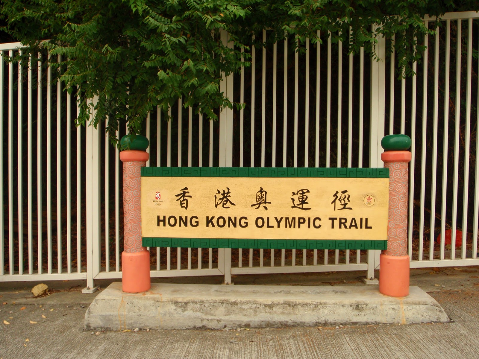
Mount Davis (269 meters above sea level) is a hill in the westernmost of Kennedy Town, Hong Kong Island, Hong Kong. It is named after John Francis Davis, who was the second Governor of Hong Kong, from 1844 to 1848.

TRANSPO
- Take the HK island Bus 5 to Felix Villa (Starting Point). 
- Take the bus 5X to Kennedy Town and walk about 15 minutes uphill to the starting point.

TRAIL INFO
- Difficulty: 1/5
- Duration: 1.5 Hours
- Terrain: 95% Concrete & 5% Natural Trail

LET'S GO!


STARTING POINT
The starting point of the trail is located exactly at the bus stop of
Bus 5  (Felix Villa) at the left side of the fork.

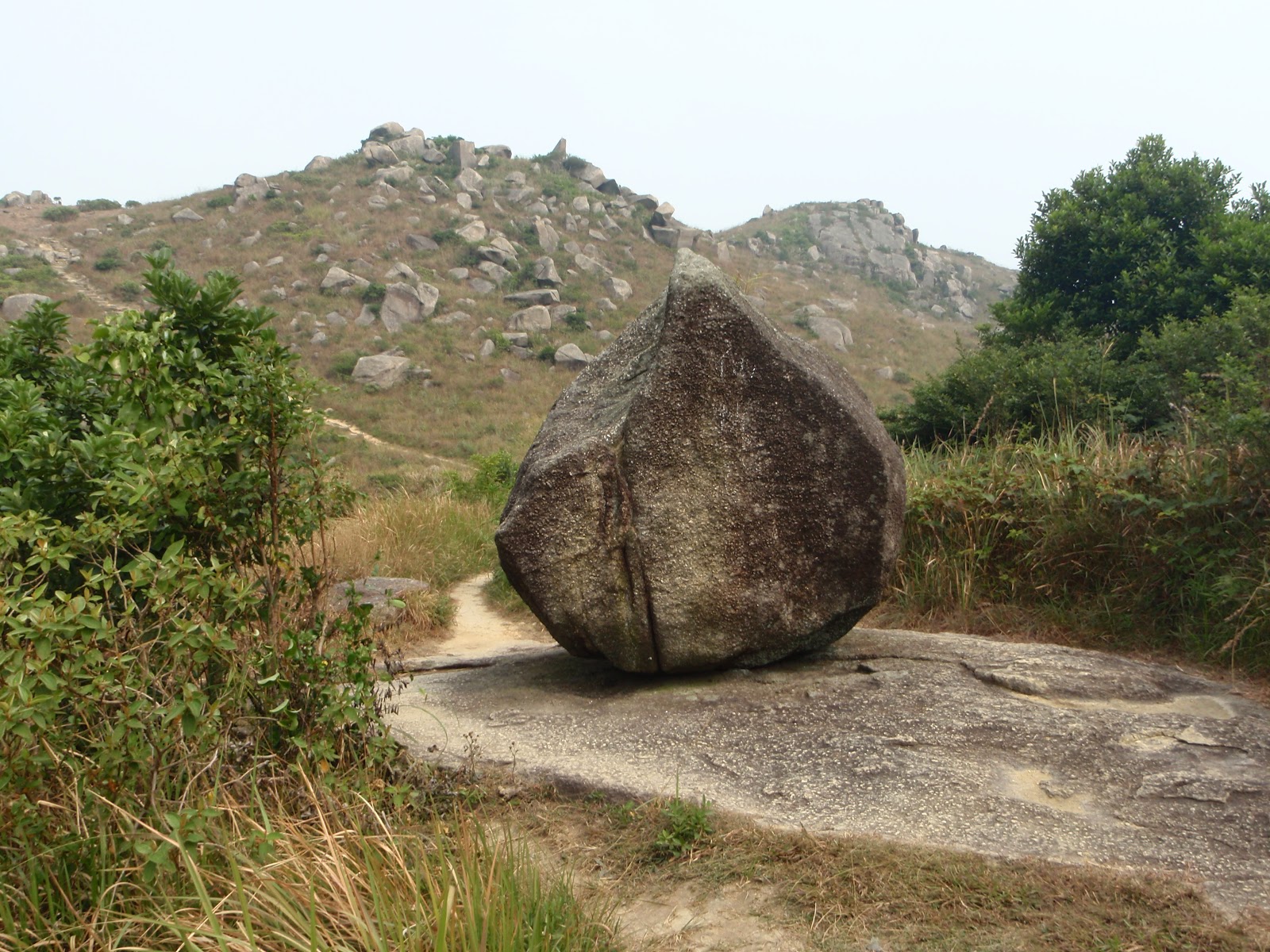
The trail is uphill and 95% concrete and 5% natural terrain.

Another fork? Well, Simply take the left side...

An age old abandon house like this one is what your going to witness in Mount Davis Path. It's used to be a military station during the WWII.

Walk a little more uphill and you will see this stairs and it will save your time from the winding road of Mount Davis Path. Take this route and you will get to the Jockey Club Youth Hostel in no time.

A refreshing uphill sheltered by trees.

The Jockey Club Youth Hostel 

Modern Structure next to a War Relics
(You can see this at the left side of the Jockey Club Youth Hostel)

BARBECUE AREA
This is made for the weekend goers and war-game players. If you wish to be away from the bustling city and spend some time with friend or family...this is a place to be!

PAVILION
A resting place for the Hikers, Walkers and the War-game players
(Beware of this place if some people are playing war-games)

RADIO ANTENNA
(This also serves as a battle field for the weekend war-game players, hikers and walkers) 

This is an old soldier barracks during the WWII now it's a national treasure but turns out to be a best location for weekend war-game players. 

MOUNT DAVIS SUMMIT
(Stands 269 meters above sea level)
From here you can see the HIGH WEST and VICTORIA PEAK on a clear day.

When your done browsing about at the summit of Mount Davis, simply walk back down to where you  climb up and locate this emergency calling booth next to an old school.

Just a bit down the curve you will see this banana trees.

On your downhill, you will be pampered by the shades of this trees until the trail ends. 

END ZONE
This is the end point of the trail and just down below is Victoria Road. Turn to the left and you can take Bus 5 again to get yourself back into the city or walk to the right and and locate the Kennedy Town Bus Terminal
(Around 5 mins walk).

This is the look of the end zone on the opposite side of the road.
This can be your starting point as well if you wish.


Friendly Reminder
Enjoy Your Country Park, Enjoy Hiking and Leave No Trace!

LOVER'S ROCK


Lover's Rock (Bowen Road) - is a road from the Mid-levels to Wong Nai Chung Gap of Hong Kong Island, on the slope above Central, Wan Chai and Happy Valley in Hong Kong. Lover's Rock Starts at Bowen Road from Magazine Gap Road near the rail of the Peak Tram and Ends at the junction of Stubbs Road. 

Today the road is a popular route for joggers and dog walkers.

The road was named after George Ferguson Bowen, the 9th Governor of Hong Kong, from 1883 to 1885. It was colloquially called "Third Road" by residents in Hong Kong for being the third east-west road from the shore at that time. "First Road" and "Second Road" were Queen's Road and Kennedy Road respectively.

TRANSPO
(Start at Stubbs Road - End at Wan Chai Gap Road)
-Take this Buses: 6, 66, 15, 47A, 63 & 76
-Take the Mini Bus: 5 (Behind Sogo)

TRAIL INFO
Difficulty: 1/5
Duration: 25 minutes to the summit
Terrain: 100% Concrete

LET'S GO! 


STARTING POINT
At Stubbs Road

This is what the terrain looks like...all concrete and covered with green trees.

One of the fascinating scenery on the trail of Bowen Road 

Climb the stairs to locate the Lover's Rock at the summit!

LOVER'S ROCK
Here it is, the much anticipated Lover's Rock...take a moment to look around and take some photos of Happy Valley, Victoria Harbour, and some parts of Central Hong Kong.

A place for offerings and prayers for the believers  

PAVILION
This pavilion serves as a relaxing station for the runners and walkers.
There's clean and convenient lavatory next to it.

END ZONE
Time to finish the trail? Well, this is where you can choose whether if you wish to end you expedition. Head towards the right side will lead you to Wan Chai Gap Road or straight ahead to Magazine Gap and from below you find your ride home by MTR, Tram, Bus, Mini Bus or Taxi.


Friendly Reminder
Enjoy Your Country Park, Enjoy Hiking and Leave No Trace!

Wednesday, October 17, 2012

TIGER HEAD

Tiger Head also known as Lo Fu Tau Country Trail, it is located at Lantau North (Extension) Country Trail. There are many entry point in this trail like Pak Ngan Heung in Mui Wo, Neo Horizon in Discovery Bay or at Pak Mong Village near Tung Chung. In this presentation, it sets of from Pak Mong while trekking "Hong Kong Olympic Trail". There's no need to worry if your a Novice Hiker or an Expert Hiker because the warm-up stage are all concrete until the main starting area is reached. The whole Tiger trail is composed of natural dirt/mud/soil and plenty man-made stairs. It is very pleasing to hike in this section because of the cool breeze coming from all sections of the trail. Be sure to free your imaginations when you encounter the rocks scattered on the mountain. Name it if you must!

TRANSPO:
-Take the MTR to Tung Chung.

(Option A): Leave by MTR Exit B & take Bus 36 (The Bus Near #34 To Shek Mun Kap). Known for its cheapest fair but the timings are a turn off (only few people would take this!).

(Option B): Leave by Exit A & take the BLUE colored taxi [(Lantau Taxi) (RED Taxi: Not Is Allowed!)].
This is the best way to take because it should cost you HK$30 on a 7-8 mins. ride to Pak Mong (maximum capacity of a taxi is 5 person).

TRAIL INFO:
-Concrete 20%
-Dirt/Mud/Soil 50%
-Trail Modification (Stairs) 10%
-Rocks 20%

LOGISTICS:
-8L to 25L Pack
-1L to 2L Water
-Power Bars
-1 Apple or Banana (should be fine)
-Light-weight Hiking Gear (convertible pants and a pair of shirt)
-1 Extra shirt
-Reasonable Hiking Shoes (Not Gym Shoes)
-Hiking Pole (Optional)
-Hat/Sun Glasses (Optional)

LET'S GO!


WARM UP STAGE
This is Located at Pak Mong  and you will see plenty of this signboards
because this trail is design to commemorate the Olympics held Hong Kong, China. 

The Calm River channel at the main warm-up stage of Olympic Trail.

The incinerator is a "Memorabilia" in this trail and it is used in the past by the local villagers of Pak Mong .

THE WATCH TOWER & SWORD TESTING STONE
The Watch  Tower located at the entrance of Pak Mong Village was built in 1939. It is 7 meters in height, two-storey building, with the main gate facing southwards. On the granite wall are small windows and gun ports serving to resist bandits and pirates, as well as Japanese army during the WWII. After the war, the tower was used as a village school. Similar to the Watch Tower, the "Sword Testing Stone" was declared monument in 1999. The stone is situated next to the land shrine with 2 meters in height. Divided neatly into two parts (that's why it's named "Sword Testing Stone).

STARTING POINT
This is where your adventure to Tiger Head begins!

There are plenty of scattered rocks around the mountain and once again,
your child-like imagination is required. 

This Rock is called "The Divine Peach Rock", standing in the middle of the trail
and it is dubbed as a Peach because of its shape.

THE LOVERS
This is like my imagination working for a title on this rock. It looks like as if two person
sitting on top of a rock, clinging to each other and promised to be together...forever! 
THE STRANGE DUCK / CANNON ROCK
(What do you think?)


TIGER HEAD SUMMIT
The Trigonometric Point of Lo Fu Tau Country Trail which stands 465 meters above sea level.

A rugged terrain on your downhill. This is very slippery during rainy season and taking up the
challenge on that certain point in time may require a huge amount of precautions. 


CHOOSE YOUR PATH
This section (A Cross-Road) of the trail will make you think twice before ending your adventure. The One on the right will lead you to Discovery Bay main road and it should take 15-20 mins and this adventure is complete. Just take board in to  DB03R or 03P to Sunny Bay MTR station. 

Almost done...The place up ahead is Discovery Bay!

THE TRIPLE TOWER
Pin your eyes on those towers to locate your end point. There's only
one ending trail and I'm sure you won't get lost in this section. 

END / STARTING ZONE
(Depending on where you start this Adventure)
To return to the city, just board in to  DB03R or 03P to Sunny Bay MTR station. Take the DB04R or 04 to Tung Chung.


Friendly Reminder
Enjoy Your Country Park, Enjoy Hiking and Leave No Trace!

PO TOI ISLANDS

PO TOI ISLANDS Are a small group of island with a population of 200, south-east of Hong Kong Island, off Stanley, in Hong Kong.The main island of group is Po Toi Island. Administratively, they are part of the Island District. The Island are notable for interesting rock formations and open-air seafood restaurants. Po Toi Island has a "Haunted House", and some "Rock Carvings" supposed to be the epitaph of an emperor who died on or near Po Toi. Waglan Island has one of the five surviving pre-war lighthouse in Hong Kong.

TRANSPO:
There are plenty of Buses and Taxis that can easily access the ferry terminal to Po Toi Island. The best one on the weekend is the one at Stanley called "Blake's Pier Stanley" and the other one is at Aberdeen Ferry Terminal. The ferry boat cost HK$40 for Adults, HK$20 for Child and FREE of charge for the 3 years of ageand under (Round Trip Ticket Price). The first ferry to arrive in the morning at Blake's Pier is 10am. On your return, please ask the Ferry Conductor on their return time. Roughly, the timing of their returns are 3pm, 4:30pm & 6pm.

TRAIL INFO:
This is a very well maintained island and you will really enjoy this because most of the trail is concrete or with natural rocks. This island is not difficult to venture if your just going to see the seven (7) major spots of the island but if you try to add a little spice in to your island trip... you can also hike at the specially made Hiking Area. Make sure you have enough time because the last ferry to leave the island is around 6pm. 

LET'S GO!

BLAKE'S PIER, STANLEY
This is the best place where you can take a ferry ride to Po Toi Island.

(The earliest is 10am)
PO TOI ISLAND
Almost there!

The Ferry Docking Station at Po Toi Island

The very famous Seafood Restaurant near the beach. You can't afford to take a 
dip in this section because the beach next to the Ferry Docking Station.
There are some areas on the island where you can swim though.

The Trail Sign
The one pointing on the left-side will lead you to the two highlights of this

 island and the one pointing on the right-side will guide you to the Po Toi Island Hiking Trail.

TIN HAU TEMPLE
This is one of the two highlight on the left-side of the trail sign.

THE SNAIL ROCK
....and this is the second one!

PO TOI ISLAND HIKING TRAIL
If you have enough time and if you think you have the speed to do this 

trail and the rest of the Island Highlights....why not!

TRAIL SIGN
There will be plenty of this signs around the hiking area and I'm sure you won't get lost here.

This are some of the greatest rock formations that you may encounter if you 
venture the hiking ground. Some of the cliff side are protected by the metal railings
but some are not, so please be very careful here!

Looks like a Haunted House setting for a Horror movie. 

This is the best part of the island to swim but it's not sandy, the bottom of the
beach is too rocky...a put off...but if your wearing a swim shoe...it's fine! 

THE TURTLE ROCK & MONK ROCK 

126 LIGHTHOUSE TOWER
The last lighthouse tower on the island that gives guidance to lost voyagers. 

THE PALM ROCK
You need to use your child-like imagination around this island so that you can

 really enjoy your day out here. The rock carving is one of the main highlight 
because it is supposed to be the epitaph of an Emperor who died on or near the Island.


Friendly Reminder
Enjoy Your Country Park, Enjoy Hiking and Leave No Trace!